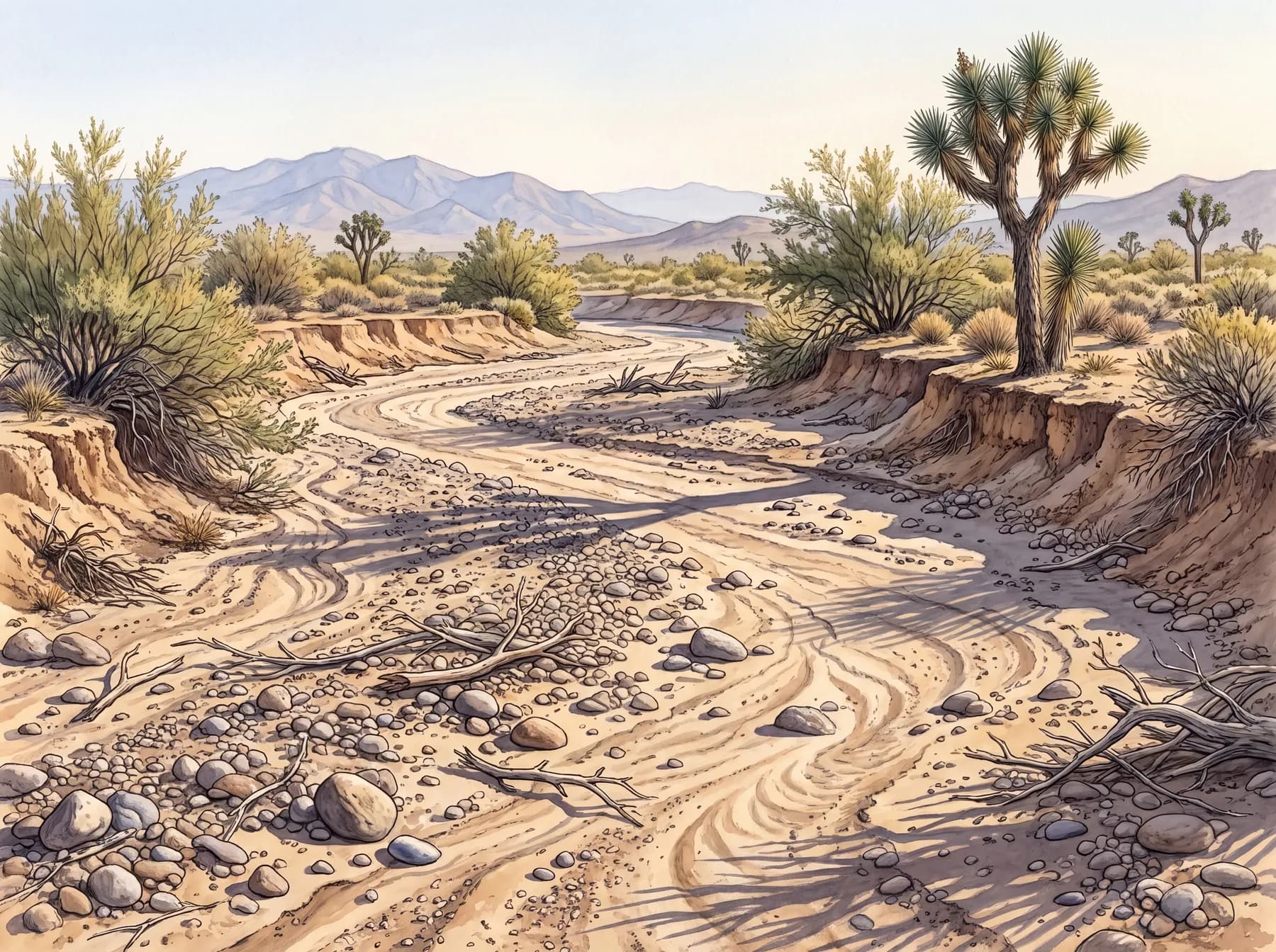
From wetter country, the first wash you cross reads as a river that died: a wide bed of pale sand and gravel, banks cut clean, and no water in it. That is not quite what it is. A wash is not a stream that failed but a stream that is only sometimes — a channel that carries running water for a few hours during and after a storm, then lies as dry sand the rest of the year. Arroyo is just the Spanish name for it, a brook shrunk down to its bed.
The dryness is less the absence of water than its schedule. This ground is bare and hard, packed and crusted where caliche and desert pavement seal the surface, so when a monsoon storm breaks over it, most of the rain does not soak in. It runs. Sheeting off the slope, it gathers into low lines, and the low lines feed one another until a real current is moving down the bajada, heavy enough to carry sand, roll gravel, and shove cobbles into bars. That flow is what cuts the wash and cuts it again, sorting coarse from fine and nudging the channel a little sideways with each big flood. The bed is dry between floods because the flood is brief, not because the water never comes.
The unsettling part is that the storm does not have to be yours. Monsoon rain is local and sudden. It can fall hard on high ground miles off and send that water down the channel while the sky above you stays clear. A dry wash can come up running under blue sky, which is the whole hazard of the thing. You look at the bed and read sand; the sand is only telling you about the last few days.
For most of the year, though, the wash is where this country keeps its life. The channel that carries the flood also keeps the leftovers of it: deeper sand that stores moisture below the surface, a little shade, and roots long enough to reach what is stored. So the drainages run green when the flats around them do not: catclaw acacia, desert willow, the thicker browse and cover that pull animals in. The pull is real enough to count. In one desert study, washes were only about 3 percent of the ground yet held desert mule deer roughly 30 percent of the time. A sliver of the map doing a third of the work.
That makes a wash the first place to read and the last place to stand in a storm. It is where tracks print cleanest in the damp sand, where the water-lovers gather, where a green line in the distance means a drainage before it means anything else. Trace that low green thread across the flats and you are reading where the water runs, which is most of what a newcomer needs to learn here.
In a storm, stay up on the bank. Water that fell on ground you cannot see arrives here first.